- Hyper-local mapping moves beyond generic search results to highlight small, often overlooked parks within walking distance of your home.
- Data-driven parenting: By using collaborative maps, families can identify specific amenities like shade, restrooms, and age-appropriate equipment before leaving the house.
- Community building: These projects rely on crowdsourced information, turning passive park visitors into active participants in neighborhood safety and maintenance.
The most effective way to escape the afternoon “cabin fever” with your children isn’t by driving thirty minutes to the city’s largest, most famous park, but by discovering the neglected, perfectly adequate green space three blocks from your front door.
We often fall into the trap of thinking that a destination needs to be “grand” to be worth our limited weekend time. But for parents in their 30s and 40s, the friction of travel is the ultimate barrier to outdoor play. If it takes twenty minutes to pack the car and find parking, the effort often outweighs the benefit. This is where the hyper-local park map project comes in—a quiet, grassroots revolution in how we view our immediate surroundings.
What Exactly is a ‘Hyper-Local’ Park Map?
Most of us rely on Google Maps or Apple Maps when we want to find a park. These tools are fantastic for finding the “big” spots—the ones with thousands of reviews and professional photography. However, they consistently fail to capture the nuance of small, neighborhood-scale parks. A hyper-local map is a curated, often crowdsourced resource that focuses on the “micro-geography” of your specific suburb or city block.
Think of it as the difference between a global satellite view and a floor plan of your own living room. A hyper-local map doesn’t just label a plot of land as “Park.” It identifies whether that park has a fence, if the playground is in the sun or the shade at 3:00 PM, whether the swings are designed for toddlers or bigger kids, and if there is a functioning water fountain nearby.
For the modern parent, this information is gold. We aren’t looking for a tourist destination; we are looking for a place where we can sit for forty-five minutes while our toddler burns off energy, without having to worry about a busy road or a lack of basic facilities. These maps are built by residents, for residents, and they prioritize utility over aesthetic grandeur.
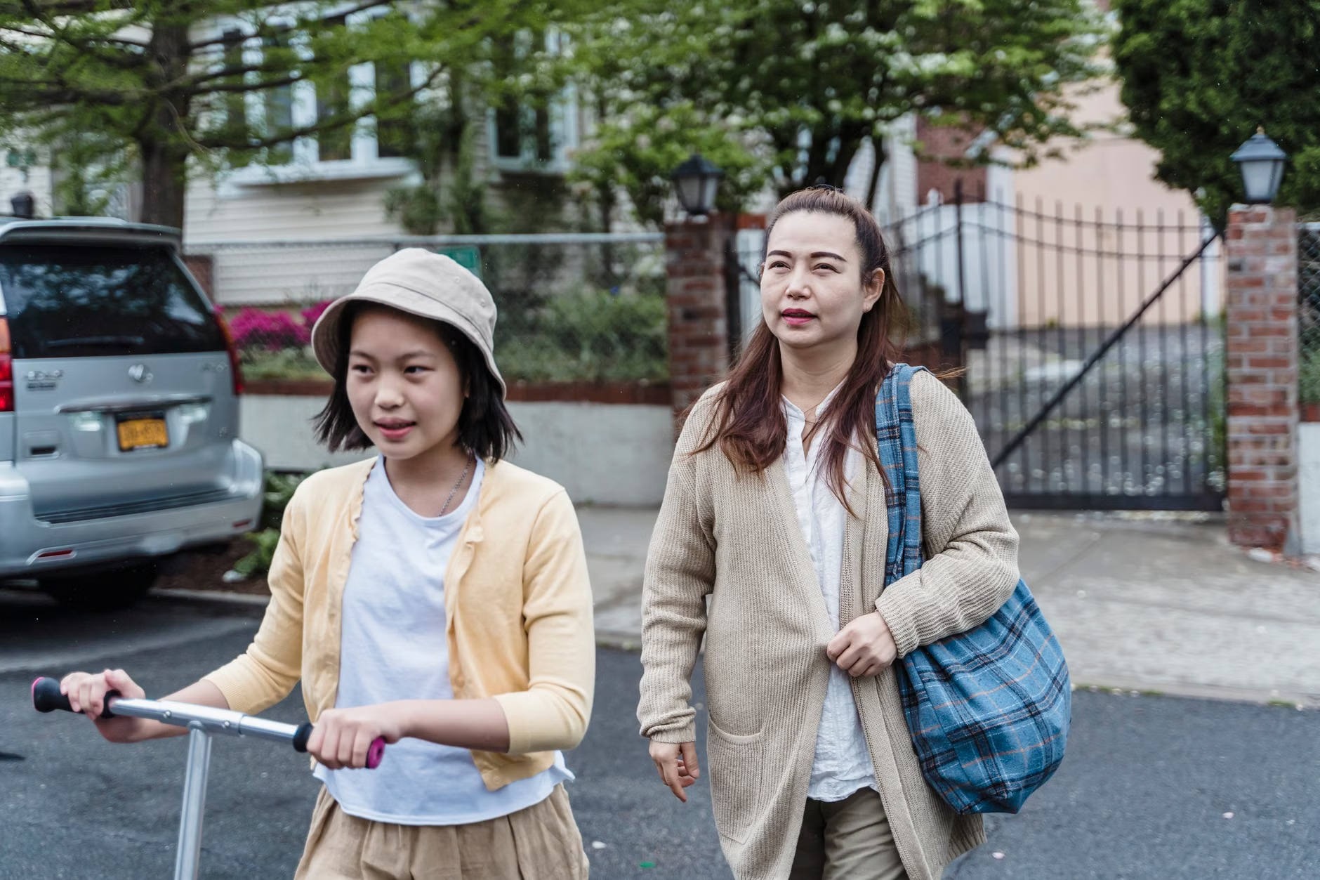
The Friction of Modern Parenting and the Search for Green Space
Why do we struggle to find these places on our own? It’s a mix of information overload and “analysis paralysis.” When we open a standard map app, we are presented with hundreds of options. We start reading reviews, checking photos, and comparing travel times. By the time we decide on a location, the window of opportunity—that precious hour before nap time or dinner prep—has vanished.
The hyper-local project philosophy is built on the concept of “low-friction exploration.” By limiting the scope of the map to your immediate vicinity, you eliminate the overwhelming nature of choice. You aren’t choosing between every park in the county; you are choosing between the three parks within a ten-minute walk. This changes the mental load of parenting from a project management task into a simple, spontaneous decision.
Furthermore, there is a distinct environmental and psychological benefit to staying local. Walking to a park, rather than driving, changes the experience for the child. It turns the journey into an exploration. They notice the neighbors’ dogs, the construction site down the street, or the changing colors of the trees. It builds a sense of belonging to a place, rather than just being a consumer of a facility.
The Anatomy of a Useful Community Map
If you are looking to start or utilize a hyper-local map, you need to understand what makes a map “useful” versus just “pretty.” A truly functional map for families should include specific data points that aren’t usually found in commercial map apps. I’ve broken down the essential categories below.
| Feature Category | Why It Matters | What to Look For |
|---|---|---|
| Safety Features | Prevents “runner” toddlers from reaching roads. | Fencing, distance from traffic, visibility from the street. |
| Infrastructure | Essential for longer stays. | Restrooms, water fountains, benches with shade. |
| Equipment Age | Ensures the play is developmentally appropriate. | Toddler-specific structures, rubber vs. mulch ground cover. |
| Crowd Dynamics | Helps avoid sensory overload or social anxiety. | Peak busy hours, school-adjacent traffic, quiet zones. |
When you participate in these projects, you are essentially helping to build a “living document.” If you notice that a specific park’s slide is scorching hot in the afternoon, adding that note to a community map prevents another parent from having a miserable experience. It’s a small, altruistic act that pays dividends in community trust.
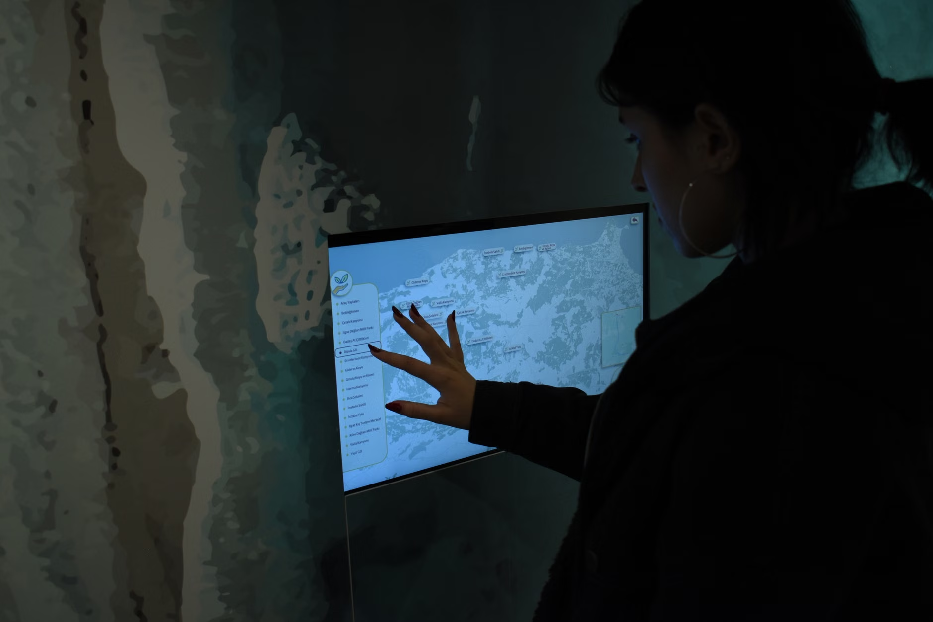
How to Start Mapping Your Own Neighborhood
You don’t need to be a GIS (Geographic Information System) expert or a software developer to contribute to the hyper-local movement. The barrier to entry is lower than you think. In fact, the most effective tools are often the simplest ones.
1. Choose Your Platform
You can start with a shared Google Map, a Notion database, or even a specialized app like OpenStreetMap. If you want to keep it simple, a private Facebook group or a shared WhatsApp thread for your neighborhood can serve as a “beta” map where people share photos and descriptions of their favorite spots.
2. The “Audit” Walk
Spend one weekend morning walking to the parks in your immediate radius. Take photos, not of the scenery, but of the things that matter: the gate, the bathroom door (and whether it’s actually open), the shade coverage, and the surface of the playground. This becomes your foundational data.
3. Crowdsource the Details
Once you have a base, invite other parents to contribute. Ask them: “Which park has the best shade for a picnic?” or “Which park is muddy after a rainstorm?” These qualitative observations are what make a map truly useful. A professional map will tell you where a park is; a neighbor will tell you when to avoid it.
Common Pitfalls and How to Avoid Them
The most common mistake when creating these maps is “feature creep.” You might be tempted to include every single detail—the type of trees, the history of the park, the local wildlife sightings. While interesting, this clutter makes the map harder to use in a pinch. Keep it focused on the “need to know” information for a busy parent.
Another pitfall is privacy and safety. When mapping, avoid tagging private residences or identifying specific children in your photos. Stick to the public amenities. Also, be mindful of the “privacy paradox”: if you identify a “hidden gem” park too broadly, you risk it becoming overcrowded. Use private, invite-only links for your neighborhood groups to keep the information contained within the community that uses it.
Finally, remember that things change. A playground might get a new renovation, or a water fountain might break. A map is only as good as its last update. I recommend setting a “refresh” cycle—perhaps once every six months—to check in with your community and see if the status of these local spots has shifted.

The Broader Impact: Reclaiming Our Public Spaces
There is a quiet, profound benefit to this project that goes beyond just finding a place for the kids to swing. By becoming active mappers of our neighborhoods, we shift our relationship with our local government and our fellow residents. We start to notice when a park is neglected. We start to advocate for better lighting or a repaired fence.
When we are disconnected from our immediate environment, it’s easy for public spaces to fall into disrepair. But when a community is actively engaged—when parents are discussing which park is best for a toddler’s birthday or where to meet for a playgroup—that space becomes a “third place.” It becomes a hub of social interaction that strengthens the fabric of the neighborhood.
In our 30s and 40s, we often feel the squeeze of work, home maintenance, and childcare. It is easy to retreat into our private homes and screens. The hyper-local park project is an invitation to step back out, to reclaim the sidewalk, the grass, and the shared spaces that make a neighborhood a home. It isn’t about grand urban planning; it’s about the small, human-scale connections that happen when we decide to walk to the end of the block instead of driving to the other side of town.
Practical Tips for Implementation
If you feel overwhelmed by the idea of creating a map from scratch, start small. Don’t try to map the whole city. Pick a one-mile radius around your home. That’s it. If you can identify five usable spaces within that mile, you have already succeeded.
Use existing resources to fill in the gaps. Many cities have open data portals where they list the locations of public playgrounds. You can import this data into your map as a starting point, then verify it yourself. This saves you the time of finding the locations and allows you to focus on the “value-add” data: the shade, the safety, and the “vibe.”
Encourage your children to help. When you visit a new park, ask them what they think. “Is this a good park for tag?” “Is the ground easy to run on?” Their perspective is often more practical than ours. They don’t care about the landscaping; they care about the playability. Including them in the process turns the map into a family project rather than a chore.
Looking Ahead: The Future of Hyper-Localism
As technology evolves, we might see these projects integrated into larger platforms, but there will always be a place for the curated, community-led map. AI and big data can tell you where a park is, but they cannot tell you if the “vibe” is right for your family. That requires human insight and shared experience.
Whether you use a paper map, a digital app, or just a shared note on your phone, the act of mapping your neighborhood is a declaration of presence. It says that you are here, you are invested in your community, and you are creating a better environment for your family one park at a time. It’s a small, manageable way to improve your quality of life, and in the grand scheme of parenting, that’s exactly the kind of win we need.
So, this weekend, take a walk. Look for the spaces you usually drive past. You might be surprised by what you find—a perfect, quiet corner just waiting for your family to claim it.
Frequently Asked Questions
Q: Is it safe to share these maps publicly?
A: It is generally best to keep these maps within a private, invite-only group of neighbors or friends. This keeps the information useful for your immediate community without attracting unwanted attention or overcrowding to small, local spaces.
Q: What if my neighborhood doesn’t have many parks?
A: That is exactly why the mapping project is useful. By identifying the lack of green space, you can create a compelling case for your local council or neighborhood association to invest in pocket parks, community gardens, or better maintenance of existing, underutilized areas.
Q: How do I handle disagreements about a park’s quality?
A: Embrace the subjectivity. A park that is “boring” for an eight-year-old might be the perfect “safe haven” for a two-year-old. Adding a comment section or a simple “best for…” tag allows for different perspectives to coexist, which makes the map more inclusive for families with children of different ages.
For more information on urban planning and the benefits of green spaces in residential areas, you can consult resources from the National Recreation and Park Association (NRPA) or check your local municipal government’s parks and recreation website for official facility data.