Key Takeaways
- Reliability over connectivity: Physical maps never run out of battery or lose signal, making them the ultimate safety backup in remote areas.
- Cognitive engagement: Using a paper map forces you to actively process terrain and surroundings, leading to a deeper connection with the landscape.
- The “Hybrid” Strategy: The best approach for modern hikers is keeping a digital GPS for quick reference while carrying a physical map and compass for core navigation.
The most reliable GPS device you will ever own doesn’t require a satellite connection, it never needs a firmware update, and it definitely won’t shut down when the temperature drops below freezing. It is a piece of paper, folded carefully and tucked into a waterproof sleeve. As someone who spends a fair amount of time balancing the hectic nature of work and family life, I’ve found that the quiet, analog simplicity of a physical map is becoming an essential part of my outdoor kit—not because I’m a Luddite, but because I’ve learned the hard way that technology is a tool, not a guarantee.
We live in an age where we expect instant answers. We tap a screen, a blue dot appears, and we follow the line. It’s efficient, it’s fast, and for the vast majority of urban and suburban scenarios, it’s flawless. But when you are miles away from the nearest charging port or cellular tower, the “blue dot” can become a liability. The recent trend of hikers, particularly those in their 30s and 40s who are looking to disconnect from the constant ping of notifications, returning to paper maps is less about nostalgia and more about a calculated return to self-reliance.
Let’s talk about the reality of the devices we carry. Most of us rely on smartphones or dedicated GPS watches. They are marvels of engineering, but they share a common weakness: they are fragile. A smartphone is susceptible to screen cracks, water damage, and, most importantly, battery drain. In cold weather, lithium-ion batteries can lose their charge at a rate that feels almost malicious. I once spent an hour on a trail in the late autumn, watching my phone’s battery percentage drop from 30% to 5% in less than fifteen minutes because of the ambient temperature.
Beyond the hardware, there is the issue of software dependency. Digital maps rely on cached data or active data connections. If you venture into a “dead zone”—which, let’s be honest, is the whole point of hiking—you are entirely dependent on the data you managed to download beforehand. If the app crashes, if there is a glitch in the software, or if you accidentally swipe the wrong way and lose your map view, you aren’t just inconvenienced; you are potentially lost.
Physical maps don’t have these failure points. They don’t require an update to show a new trail, they don’t have “loading” screens, and they aren’t trying to track your data for advertising purposes. There is a profound sense of security in knowing that your navigation is entirely within your control. It’s the difference between renting a home and owning one; one is convenient, but the other provides a fundamental sense of stability.

Why We Are Losing Our “Wayfinding” Skills
There is a psychological aspect to this trend that is arguably more important than the safety factor. It’s called “wayfinding.” When you use a GPS, you are often just following an instruction: “Turn left in 500 feet.” You aren’t actually looking at the terrain. You aren’t noticing that the slope is getting steeper, that the vegetation is changing, or that you are passing a specific rock formation. You are looking at the screen, waiting for the next command.
This is a form of cognitive offloading. We are delegating the act of observation to a machine. When I started carrying a paper map, I noticed that my perception of the trail completely changed. I had to look at the contour lines, identify the peaks, and visualize the valley. I had to pay attention to the world around me. This turns a hike from a “task to be completed” into an immersive experience. For those of us who spend our work weeks staring at spreadsheets and emails, this mental shift is a breath of fresh air.
Furthermore, teaching children how to read a map is a life skill that provides a sense of accomplishment. When my kids help me navigate, they aren’t just looking at a screen; they are learning to interpret the world. They learn that the lines on the paper represent the mountains around them. That connection is something no app can replicate.
To help you decide what should be in your pack, let’s break down the pros and cons of different navigation methods. It isn’t necessarily about choosing one over the other, but rather understanding where each excels.
| Feature | Digital GPS/App | Physical Map |
|---|---|---|
| Reliability | Dependent on battery/signal | Always reliable |
| Ease of Use | Very high (intuitive) | Requires skill/practice |
| Weight/Bulk | Negligible (on phone) | Light, but adds to pack |
| Detail Level | High (zoomable) | Fixed (comprehensive) |
| Interaction | Passive (following) | Active (interpreting) |
As the table shows, the digital tools are objectively better for ease of use. If you are in a rush or just need a quick check, they win. But for the core navigation, especially in areas where you might be off the beaten path, the physical map provides a layer of safety that is unmatched. The “best” kit includes both.
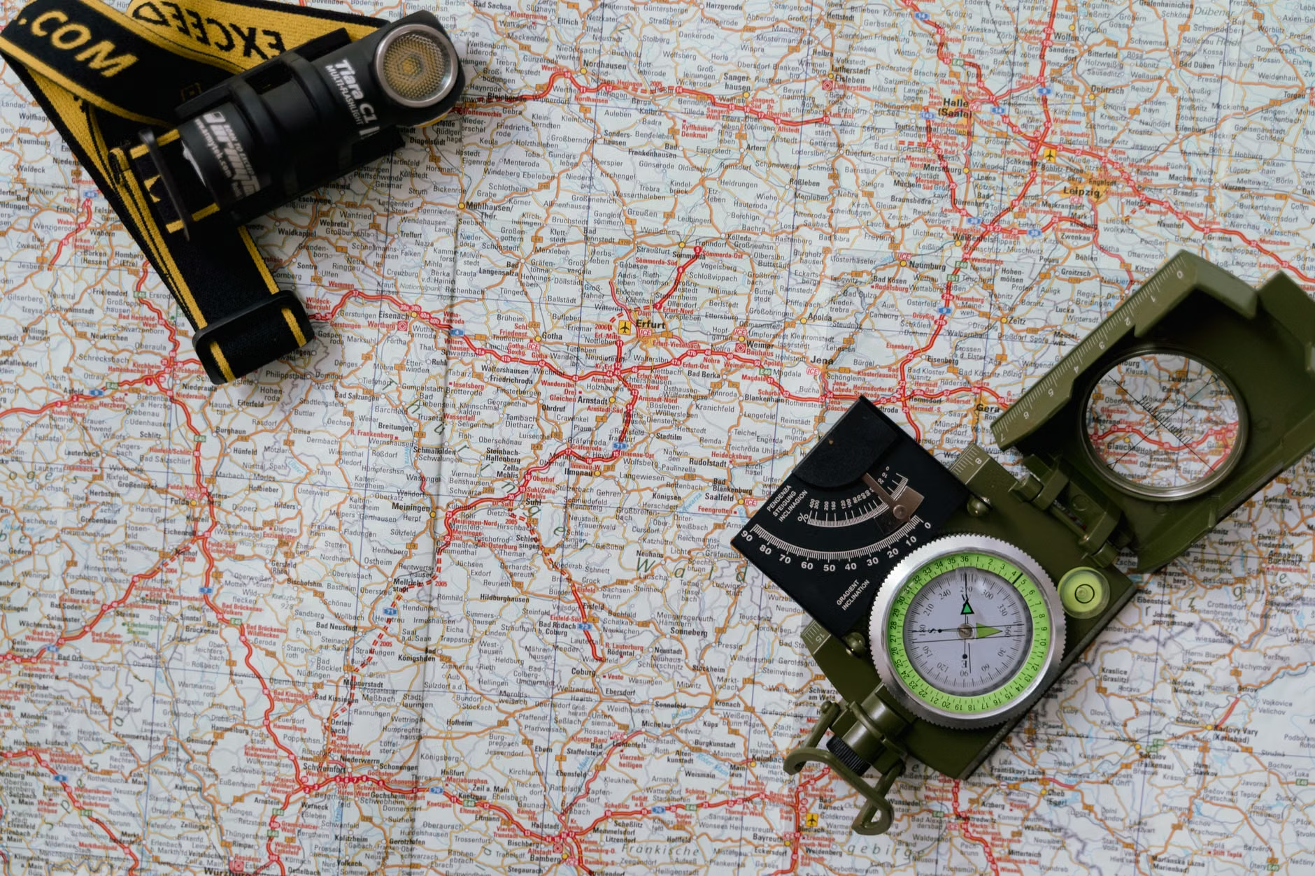
The “Hybrid” Approach for Busy Parents
If you are a parent trying to get your family into hiking, you might be thinking, “I don’t have time to learn land navigation.” That is a common misconception. You don’t need to be an expert in orienteering to benefit from a paper map. You just need to learn the basics.
Start small. Don’t feel like you need to throw away your phone. Instead, adopt a hybrid approach. Use your GPS app for tracking your pace and distance, but keep a physical map of the area in your bag. Before you head out, spend five minutes at the trailhead looking at the map. Identify the main trail, the general direction of the destination, and any major landmarks (like a river or a ridge line) that you will pass.
When you take a break, pull out the map and locate yourself. Ask your kids, “Based on what we see around us, where are we on this map?” This small habit builds confidence. If your phone battery dies or you lose signal, you won’t be panicked because you already have a mental map of the area and a physical reference to back it up.
Common Mistakes to Avoid
Even with the best intentions, it is easy to make mistakes when transitioning back to analog tools. Here are a few things to keep in mind:
- The “Too Big” Map: Don’t buy a map that covers an entire state if you are only hiking a local park. Get a detailed map of the specific region. The more detailed the map, the easier it is to read.
- Ignoring the Legend: Every map has a legend. It tells you what the colors, symbols, and lines mean. Don’t skip it. It’s the “instruction manual” for your map.
- Skipping the Waterproofing: Paper is paper. If it rains, a standard map will turn into mush. Invest in a waterproof map case or purchase maps printed on “Tyvek” or similar water-resistant materials.
- Overestimating Your Speed: When using a map, you might realize you are slower than the digital estimate. That’s okay. The map is there to help you navigate, not to pressure you to meet a digital deadline.

Why This Trend Matters Now
There is a broader societal shift happening here. We are becoming more aware of our screen time. We recognize that our devices, while helpful, often create a barrier between us and the experiences we are trying to have. Hiking is supposed to be a break from the digital world, yet we often end up staring at a screen for the duration of the hike.
By bringing a physical map, you are making a conscious choice to engage with your environment. It’s a form of “digital minimalism” that feels intentional and rewarding. It’s about being present. When you stop to look at a map, you look up. You see the trees, you feel the breeze, and you acknowledge the scale of the landscape. That is the essence of being outdoors.
Furthermore, as climate patterns shift and trail conditions become more variable, having a reliable way to navigate—one that doesn’t depend on a server in a data center—is a smart move for anyone who takes their safety seriously. It’s the same logic as keeping a first-aid kit in your car. You hope you never need to use it, but you are infinitely better off for having it.
Final Thoughts on Finding Your Way
The comeback of the physical map isn’t a rejection of technology. It’s an evolution of our relationship with it. We are learning that we don’t have to choose between the modern world and the ancient practice of wayfinding. We can have both.
Next time you plan a hike, I encourage you to visit your local outdoor gear shop and pick up a physical map of the area. Take it home, spread it out on the table, and trace your route with your finger. Feel the scale of the terrain before you even step foot on the trail. You might find that the hike feels a little more meaningful, a little more adventurous, and, most importantly, a little more under your own control.
Navigation is a skill, and like any skill, it gets better with practice. Don’t be discouraged if you feel clumsy with a map at first. The goal isn’t to be a professional scout; the goal is to be a confident hiker who knows that no matter what happens, you have the tools to find your way home.
Frequently Asked Questions
1. Do I really need a compass if I have a physical map?
While you can navigate many well-marked trails with just a map, a compass is an essential companion. It allows you to orient the map to the real world (aligning North on the map with North in reality). For longer hikes or areas with fewer trail markers, a compass is a vital safety tool.
2. Where can I find reliable physical maps?
Most regional hiking associations, national park websites, and specialized outdoor retailers offer high-quality topographical maps. Look for maps printed on waterproof, tear-resistant paper, which are specifically designed for the trail.
3. How do I practice map reading without going on a major hike?
You can practice in your local park or even in your neighborhood. Take a map of your area, identify where you are, and try to predict what you will see as you walk in a certain direction. It’s a low-pressure way to build your spatial awareness and confidence before heading into the wilderness.
For further information on wilderness safety and navigation, you can consult resources from organizations such as the National Park Service (NPS) or the Mountaineers, which provide excellent guides on outdoor skills and preparedness.