The most important thing to know about the modern travel landscape is that you no longer need to rely on a single mode of transport to get from point A to point B; the rise of the “multi-modal” ecosystem means that your smartphone can now orchestrate a seamless handoff between trains, buses, rideshares, and bike-shares in real-time.
- Unified Planning: Multi-modal apps combine transit schedules, live traffic, and micro-mobility (scooters/bikes) into one single interface.
- The End of “Transit Silos”: You can now book and pay for a train ticket and a last-mile electric scooter rental within a single transaction.
- Efficiency for Parents: These platforms allow for dynamic rerouting, which is essential when traveling with children or managing a tight schedule.
If you are in your 30s or 40s, you probably remember a time when planning a trip involved printing out MapQuest directions or staring at a paper transit map at a bus stop. Today, the frustration has shifted from “where is the station?” to “why do I have six different apps for parking, bus tickets, and bike rentals?”
The concept of “multi-modal” travel isn’t just a tech buzzword; it is the industry’s answer to the fragmentation of urban movement. By integrating various forms of transportation into one digital ecosystem, these apps aim to make your commute or family vacation feel less like a logistical puzzle and more like a fluid process. But how do you actually use these tools to your advantage without getting overwhelmed by the sheer number of options?
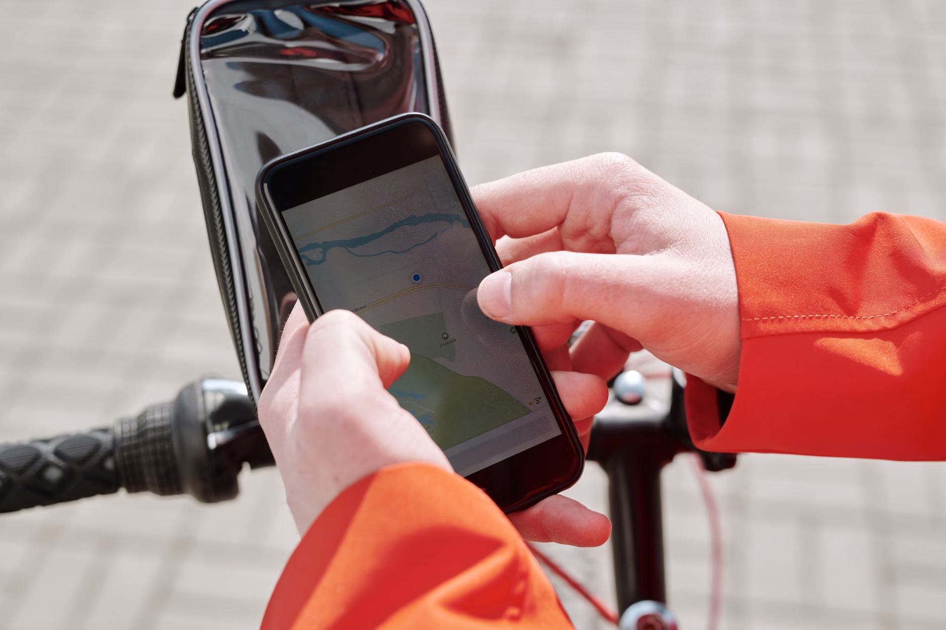
What Exactly Is a Multi-Modal Ecosystem?
At its core, a multi-modal travel ecosystem is a digital framework that stitches together different transportation services. Think of it as the “all-in-one” approach to getting around. Instead of checking Google Maps for the bus, the Uber app for a car, and a local transit agency’s website for the train schedule, a multi-modal app (like Citymapper, Transit, or integrated city-specific “MaaS” or Mobility-as-a-Service platforms) does the heavy lifting for you.
These platforms rely on APIs—Application Programming Interfaces—which are essentially digital handshakes between different transport providers. When you search for a route, the app pings the train company’s server, the local bus authority, and the bike-share database simultaneously. It then calculates the best route based on your current location and time.
For the average parent trying to get to work or navigating a weekend outing with kids, this is a game-changer. It means you can see that a train is delayed and immediately pivot to a rideshare option or a bus, all within the same app. You aren’t just looking at static schedules; you are looking at live, actionable data.
The Evolution of the “Last Mile” Problem
One of the biggest hurdles in public transportation has always been the “last mile”—that annoying distance between the train station and your actual destination. If you’re walking with a stroller or a heavy backpack, that last mile can feel like ten.
Multi-modal apps have effectively bridged this gap by integrating micro-mobility services. You might be directed to take a train for the bulk of your journey, but the app will also highlight the nearest available electric scooter or bike-share station waiting right outside the station exit. This is where the ecosystem truly shines. It turns a fragmented journey into a cohesive one.
However, there is a catch: the quality of the ecosystem depends on how many partners the app has. In some cities, the integration is near-perfect, allowing you to pay for your train, bus, and bike rental with one stored credit card. In others, you might still need to toggle between apps to complete the payment phase. Knowing the limitations of your local transit apps is just as important as knowing their features.

Practical Steps to Optimizing Your Daily Commute
If you want to start using these tools effectively, you need to move beyond simply looking at the “suggested” route. Here is how you can take control of your daily movement:
| Strategy | Why It Works |
|---|---|
| Set Up Saved Places | Pre-loading your office, school, and grocery store saves time during the morning rush. |
| Enable Live Alerts | Push notifications for specific lines can help you avoid a delay before you even leave the house. |
| Check “Off-Peak” Alternatives | Multi-modal apps often suggest cheaper or less crowded routes if you are willing to walk a few extra minutes. |
| Use “Offline” Modes | If you are traveling in a new city, download the map data to avoid roaming charges or dead zones. |
When traveling with children, the primary concern is usually predictability. A multi-modal app can help you gauge if a route is “stroller-friendly” (look for elevator icons) or if it involves a transfer that might be too difficult with a toddler. Always look for the “accessibility” toggle in your app settings; it forces the algorithm to prioritize routes with ramps and elevators, which is a lifesaver for parents.
Common Pitfalls and How to Avoid Them
Even with the best technology, things go wrong. The most common mistake users make is over-relying on the app’s “arrival time” estimate. These apps are only as good as the data they receive from transit agencies. If a bus driver doesn’t turn on their GPS, the app might think the bus is still three miles away when it’s actually pulling up to the curb.
Another issue is “app fatigue.” It is tempting to download every mobility app available in your city, but this creates clutter. Choose one or two “hero” apps that cover the majority of your needs. For most people, a combination of a robust navigation app (like Google Maps or Citymapper) and the official transit app for your specific city is the sweet spot.
Beware of “Dynamic Pricing.” Rideshare integrations within these apps are convenient, but they are subject to surge pricing. A multi-modal app might suggest an Uber as the fastest option, but it won’t always warn you that the price has tripled due to rain or traffic. Always double-check the cost before confirming your booking.
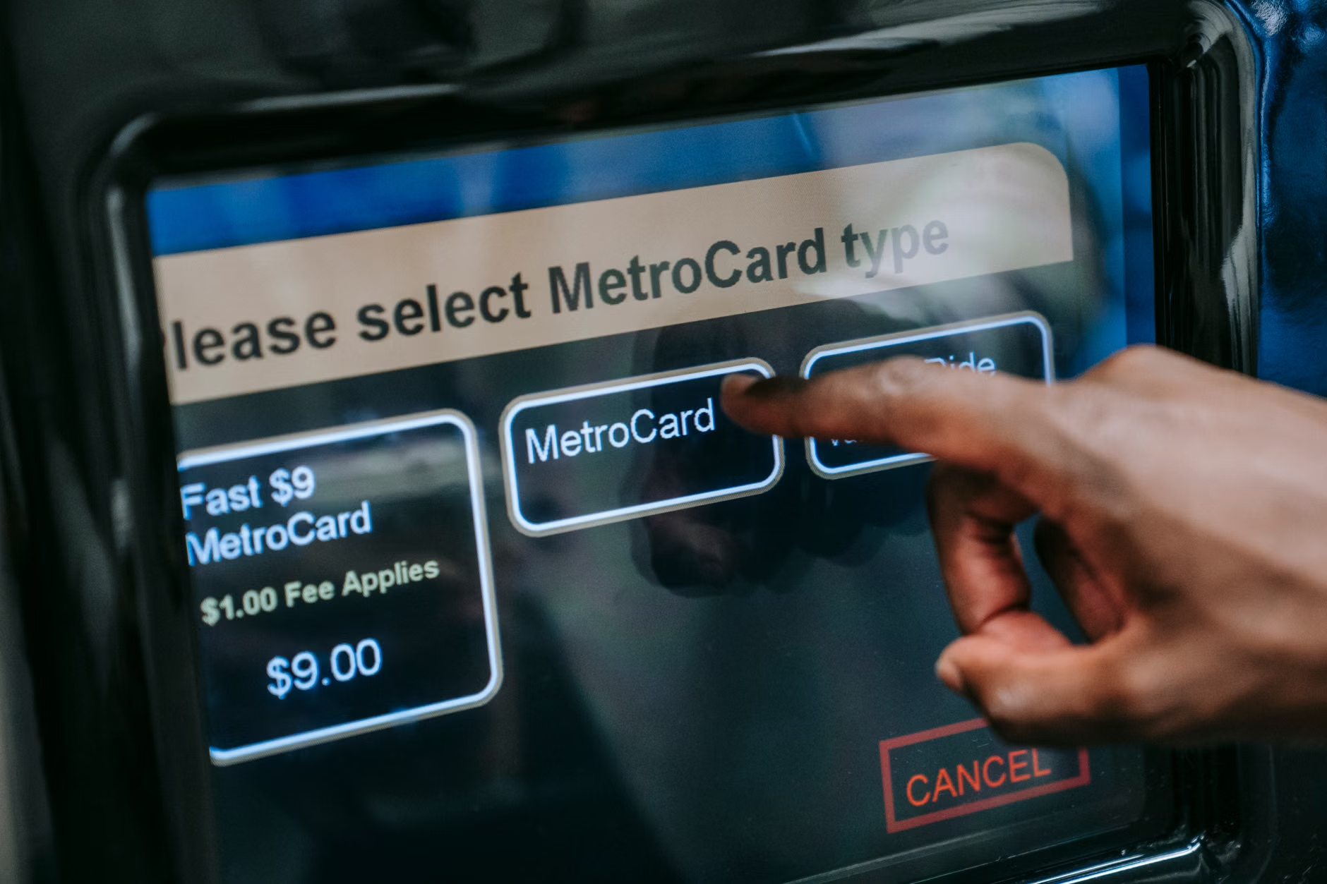
Why Data Privacy Matters in Mobility
When we talk about multi-modal ecosystems, we have to talk about data. These apps track where you go, when you go there, and how you choose to get there. While this makes your life easier, it also creates a detailed profile of your daily habits.
For parents, this is a particular point of consideration. Most reputable apps allow you to use them without constant GPS tracking, or you can set your location permissions to “While Using the App.” It is a small trade-off, but it’s worth reviewing your privacy settings once every few months. You don’t need an app tracking your location when you aren’t actually commuting.
Furthermore, be cautious about storing your credit card information across multiple mobility platforms. If you use a single “aggregator” app, ensure it has strong security protocols. Using a digital wallet like Apple Pay or Google Pay is often safer than entering your card details directly into a third-party transit app, as it acts as a secure intermediary.
The Future of Integrated Travel
Looking ahead, the goal of urban planners is to create “Mobility-as-a-Service” (MaaS) environments where you pay a monthly subscription for unlimited access to all forms of transit. Imagine paying a flat fee that covers your train pass, a certain number of bike-share rides, and even a few discounted rideshares a month. This is already being piloted in several European cities and select Asian hubs.
For us, this means the future will be less about “owning” a car and more about “accessing” the city. It’s a shift that requires a bit of a mental recalibration. We have been trained to think that owning a vehicle is the only way to achieve freedom, but as urban density increases, the multi-modal approach is proving to be faster, cheaper, and frankly, less stressful for families.
Practical Tips for Your Next Family Trip
When you are traveling to a new city, don’t wait until you arrive at the airport to figure out your transit strategy. Download the city’s primary transit app 48 hours before you fly. Many of these apps require you to set up an account and verify your phone number—doing this in the comfort of your living room is much better than doing it while trying to manage a crying child at a crowded terminal.
Also, check if the city has a “tourist pass” that integrates with the local app. Often, these passes are digital and can be loaded directly into your phone’s wallet, giving you unlimited access to buses and trains. It saves you the headache of buying individual tickets for every single trip.
Remember, the goal is not to be a slave to the app, but to use it as a tool to reclaim your time. If the app says a walk is 15 minutes, but your kids are tired, don’t be afraid to override the app’s suggestion and take a taxi. Technology is there to support your decisions, not to make them for you.
The Human Element in a Digital World
Despite all the advancements in AI and real-time tracking, there is still something to be said for the human element. If you see a transit worker, a bus driver, or a station attendant, don’t hesitate to ask for clarification. Apps can miss nuances, like a temporary elevator outage or a special event causing a bus detour. A quick conversation can save you a 20-minute detour in the wrong direction.
We live in an age where information is abundant, but context is often missing. Use your multi-modal apps to get the “what” and “when,” but rely on your common sense to handle the “how.” If a route looks too complicated or involves too many transfers with a stroller, trust your gut and look for a simpler path, even if it takes a few minutes longer.
Implications and Cautions
The multi-modal revolution is making cities more accessible, but it requires a level of digital literacy that can be daunting. The biggest caution is to avoid becoming overly dependent on your phone. Always have a backup plan—know the general direction of your destination and keep a physical map or a screenshot of your route saved in your photos. Technology fails, batteries die, and cell service cuts out. Being able to navigate without a screen is a skill that never goes out of style.
Ultimately, these tools are designed to give you options. The freedom to choose between a train, a bus, or a bike based on how you feel that morning is a significant upgrade over being locked into a single, rigid commute. As these ecosystems continue to mature, we can expect them to become even more intuitive, eventually fading into the background of our daily lives until they are as natural as turning on a light switch.
Embrace the flexibility. The next time you find yourself frustrated by a transit delay, remember that you have an entire ecosystem of alternatives right at your fingertips. Take a breath, check your app, and choose the path that makes your day a little easier.
Frequently Asked Questions
1. Do I need to pay for a subscription to use these multi-modal apps?
Most transit and mobility apps are free to download and use. However, some advanced features—such as real-time congestion pricing, premium route planning, or integrated MaaS (Mobility-as-a-Service) subscriptions—may require a premium account or a monthly fee. For most users, the free versions provide more than enough functionality.
2. Can I use these apps in any city I visit?
It depends on the app. Apps like Citymapper and Google Maps have global coverage, but their level of integration varies significantly by city. In major metropolitan areas, you will likely find full integration with local transit, bike-shares, and rideshares. In smaller towns, the app might only show basic bus schedules. Always check the app’s coverage map before traveling.
3. How do I handle battery drain when using these apps all day?
Using GPS and live data tracking will drain your battery quickly. To mitigate this, consider carrying a portable power bank, especially when traveling with family. Additionally, you can turn off location services when you aren’t actively navigating, or download offline maps and schedules to reduce the amount of data your phone needs to pull from the network.
For further information on urban mobility trends and official public transit guidelines, you can consult resources such as the International Association of Public Transport (UITP) or your local municipal transit authority website.