The most rewarding travel experiences aren’t found in crowded airports or distant capitals, but within a three-mile radius of your own front door. A “hyper-local” history walk is the single most effective way to reclaim your weekends from the cycle of chores and screen time, turning your immediate environment into a site of discovery rather than just a place to sleep.
- Digital Archiving: Use local municipal archive websites and “HistoryPin” to find geolocated historical photos before you leave your house.
- The “Three-Detail” Rule: Focus your walk on identifying only three specific historical markers, architectural styles, or forgotten street names to keep the activity manageable for children.
- Beyond Official Plaque: The most interesting history is often found in the “vernacular” landscape—old brickwork patterns, repurposed storefronts, and original street signage that survived urban renewal.
Why Your Neighborhood is More Than Just a Commuter Hub
For those of us in our 30s and 40s, the weekend is often a high-stakes negotiation between exhaustion and the desire for “quality time.” We often default to the path of least resistance: a trip to a shopping mall, a playground we’ve visited fifty times, or simply staying in. The hyper-local history walk disrupts this routine by forcing you to look at your surroundings with the eyes of an explorer rather than a resident.
Why does this matter? Because human beings are wired for narrative. When you walk down a street and know that a specific building was once a textile mill, a revolutionary war camp, or a forgotten trolley stop, the space stops being a generic background. It becomes a character in a story you are living in. This shift in perspective is a potent antidote to the “commuter fatigue” that plagues many of us, where our neighborhoods become nothing more than a series of transit corridors between work, school, and home.
Real-life scenario: Imagine you live in a suburban area that feels like a “cookie-cutter” development. You might assume there is no history to find. However, even the most modern suburb sits on land that had a previous life—perhaps as a colonial orchard, a post-war airfield, or a transit stop for a long-removed railway. Finding that single, tangible connection to the past transforms a mundane Saturday walk into an active search for clues.

Step-by-Step: Planning Your First Hyper-Local Expedition
You don’t need to be a professional historian to organize a meaningful walk. You just need a bit of curiosity and a few reliable tools. Treat this like an investigation. Here is how you can set up a walk that will actually keep your family engaged for two hours.
1. Sourcing the “Evidence”
Before you step outside, spend 20 minutes on the digital archives of your local library or regional council. Most regions have public-facing databases. Look for “historic map overlays.” These tools allow you to slide a bar across your screen, showing a 1920s map fading into the modern-day satellite view. If your city doesn’t have a dedicated site, check out HistoryPin, which crowdsources historical photos mapped to exact locations.
2. Defining the Scope (The “Micro-Radius” Strategy)
Common mistake: Trying to cover too much ground. If you walk three miles, you’ll miss the details. For your first walk, limit your route to four city blocks or a single square mile. Your goal is to find three specific things: a building that has changed its function (e.g., a bank turned into a bookstore), a piece of original 19th-century infrastructure (like a cast-iron manhole cover or a stone curb), and a name on a street sign that tells a story.
3. The “Detective” Kit
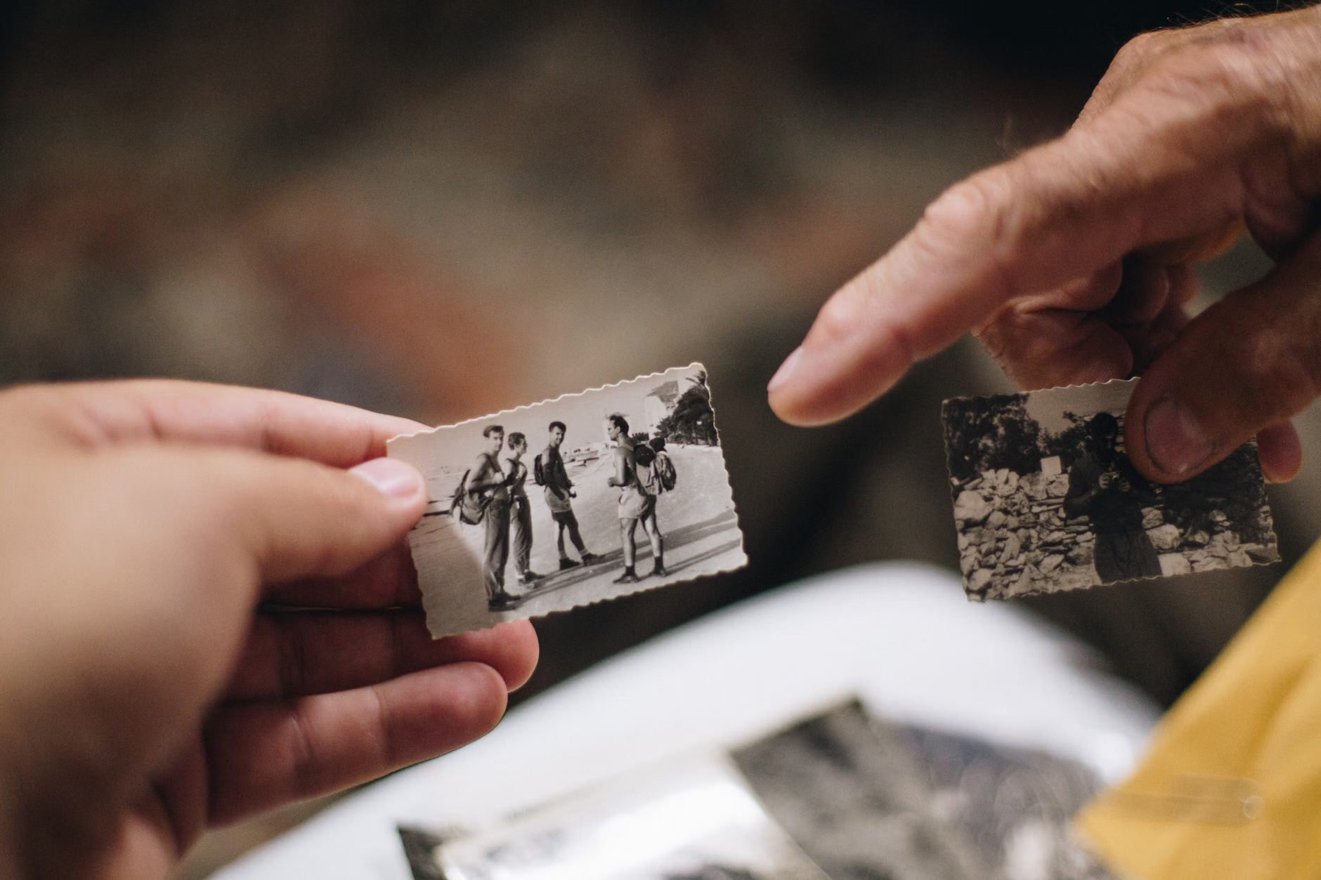
Equip your family with a simple “kit.” It doesn’t need to be fancy. A printed map of the area from 50 years ago is worth more than a dozen guidebooks. If you have children, give them a “spotting list.” Ask them to find the oldest date carved into a building—a common practice in the late 1800s and early 1900s—or to find a house that looks older than the one next to it. This turns the walk into a game of observation.

The Art of Reading the “Vernacular” Landscape
History isn’t just about famous people or grand monuments. It is written in the “vernacular”—the everyday architecture and urban planning that dictates how we move through our lives. Learning to read these signs is the most rewarding part of the process.
Looking for “Ghost Signs”
“Ghost signs” are fading advertisements painted on the sides of brick buildings. They are the remnants of businesses that disappeared decades ago. When you see one, look for clues. Does it mention a product that isn’t sold anymore? Does the phone number have only five digits? These are markers of a specific era. They tell you about the economic life of your neighborhood before it was gentrified or repurposed.
The Architecture of Purpose
Look at the window patterns of older buildings. A building with very tall, wide windows on the ground floor was likely a shop or a workshop. A building with small, narrow windows on the upper floors might have been a tenement or a boarding house. By noticing these patterns, you can reconstruct what the street was like at the turn of the century. You are essentially doing “urban archaeology” without a shovel.
| Feature | What to Look For | Historical Inference |
|---|---|---|
| Cornerstones | Engraved dates or family initials | Identifies the year of construction and initial owner. |
| Brickwork | Different colors or “patchy” sections | Suggests where doors or windows were bricked up over time. |
| Street Names | Names of local families or archaic trades | Connects the neighborhood to its original land-holders. |
| Infrastructure | Old iron utility covers or stone curbs | Indicates the age of the local water or street systems. |
The table above serves as a decision-making framework. When you are standing on a street corner, don’t just look at the overall aesthetic of the building. Use the table to categorize what you see. If you see a building with “patchy” brickwork, you can infer that the building’s function shifted—perhaps a storefront became a residential entrance—which tells you a story about how the neighborhood’s density changed over time.
One of the most common misconceptions is that history walks are only for “historic districts” with preserved Victorian homes. In reality, the most fascinating walks often happen in areas that have been heavily “redeveloped.” The contrast between the old and the new is where the most interesting questions arise.
Why were the old buildings torn down? Was it for a highway, a shopping center, or a housing boom? When you find a site where a historic landmark once stood, don’t just feel nostalgic. Ask: What was the trade-off? Did the community lose a gathering space? Did they gain better housing? This type of critical thinking is what separates a history walk from a museum tour. You aren’t just consuming history; you are evaluating the evolution of your own habitat.
Practical Advice for Parents and Busy Professionals
If you are balancing a career and parenting, your time is a finite resource. You cannot afford to spend hours planning a trip that might fall flat. Here is how to keep the experience efficient and enjoyable.
The 30-Minute “Micro-Walk”
If you don’t have a full weekend morning, try a “micro-walk.” Pick just one block. Spend 30 minutes researching it, and then spend 30 minutes walking it. The depth of your experience will be significantly higher than if you spent three hours wandering aimlessly through a larger area. For children, this is usually the “sweet spot” for attention span.
Managing Expectations
Not every walk will yield a major historical discovery. Sometimes you will find nothing but modern siding and suburban sprawl. That is okay. The goal is to build the habit of observation. If you don’t find a “ghost sign,” look for the oldest tree on the block. Trees are often the only living witnesses to the neighborhood’s past. A tree that is 100 years old has seen the street transition from dirt paths to paved roads to digital-era infrastructure.
When to Use an Expert
If you find yourself stuck, don’t be afraid to look for “guided” history walks. Many local historical societies offer self-guided audio tours or PDF maps. These are often written by local enthusiasts who know the “hidden” stories you won’t find on a general Google search. Use these as a foundation, but don’t be afraid to deviate if you see something that interests you more. The best part of a hyper-local walk is the freedom to change the plan based on what you see in front of you.
Advanced Tips for the Seasoned Local Explorer
Once you’ve mastered the basics, you can start looking at more complex data. If you are in a region with public property records, you can look up the “year built” for individual houses. This is a game-changer. You can walk down a street and accurately guess which houses were built during the same economic boom. This allows you to “date” the neighborhood and understand the waves of development that created your current environment.
Another overlooked variable is the “original topography.” Many cities were built on hills that were flattened or streams that were buried in pipes. If you notice a street that dips significantly in the middle or has a strange, curved layout that doesn’t follow the grid, you are likely looking at the path of a buried stream or an old property line from a farm that existed before the streets were laid out. These “topographic ghosts” are everywhere if you know to look for them.
Final Thoughts: The Value of “Slow” Exploration
The hyper-local history walk is more than just a weekend activity. It is a way of reclaiming your agency in a world that is increasingly designed to be consumed in a hurry. By slowing down and engaging with the physical history of your neighborhood, you are doing something radical: you are choosing to be an active participant in your own space, rather than a passive occupant.
Don’t be discouraged if your first few walks feel like you’re missing something. The “history” of a place isn’t something that is immediately visible. It is a layer that you learn to see over time. Keep going, keep looking, and keep asking questions about why your street looks the way it does. The answers are all around you, hidden in plain sight.
Start with your own block this coming weekend. You might be surprised at what you’ve been walking past every single day.
Frequently Asked Questions
Q: What if my neighborhood is very new and doesn’t have any historic buildings?
A: Even new developments are built on land with a history. Search for the name of your neighborhood or the local township in your regional archives. You will likely find maps from the 1800s or early 1900s showing farms, mills, or old carriage roads that predated your current street. Finding the “invisible” history of the land beneath the concrete is just as satisfying as looking at old buildings.
Q: How do I keep my kids engaged during these walks without them getting bored?
A: Gamify the process. Give them a “checklist” of things to find—for example, a house with a specific architectural feature, an old date on a building, or a street name that references a local tree or person. Keep the walks short, and always end at a park or a café. The “reward” at the end makes the “work” of exploring much easier for younger children.
Q: Are there any specific apps I should use to help me find historical information?
A: While apps like HistoryPin are excellent for global coverage, the best resources are usually local. Check your local municipal government’s website for “Historical GIS (Geographic Information System) maps.” These are often the most accurate sources for finding property lines and historical land-use data. If your city doesn’t have one, the Library of Congress (in the US) or similar national archives often have digitized Sanborn maps—detailed fire insurance maps from the 19th and 20th centuries—that are incredibly precise.
For further reading on how to research local history, visit the National Archives (US) or your regional equivalent to learn how to access public land and census records.