Key Takeaways:
- Reliability is not connectivity: Modern “Local-First” apps function fully without cellular or Wi-Fi signals by using stored GPS data and vector tiles.
- Battery management is a safety feature: Offline maps significantly reduce battery drain compared to streaming maps, which constantly search for cell towers.
- The “Pre-flight” checklist: Always download your map area at least 24 hours before your trip to account for potential sync errors or storage limitations.
If you have ever stood at a trail fork in the middle of a national park, looked at your phone, and seen that dreaded “No Service” icon, you know the specific kind of panic that sets in. In our daily lives, we are tethered to the cloud. We expect Google Maps to reroute us instantly when we hit traffic and assume our favorite apps will update in real-time. But when you step into the backcountry, that cloud-based convenience becomes a liability.
The “Local-First” navigation philosophy is the antidote to this digital vulnerability. It shifts the burden of data from the cell tower to your device’s internal storage. For parents in their 30s and 40s who are trying to balance the logistics of family hikes with the realities of modern technology, understanding how to use offline maps isn’t just a “pro tip”—it is a fundamental safety requirement.
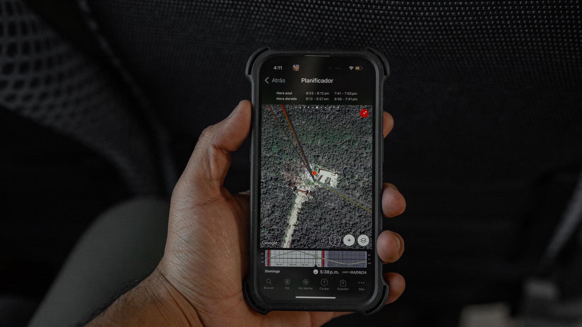
Most of us use navigation apps designed for urban environments. They rely on “fetch-as-you-go” data. When you look at a map, your phone is constantly pinging a server to download the tiles, labels, and traffic information for your current location. In a city, this is efficient. In a remote area, it is a recipe for failure.
When you lose cellular signal, your phone doesn’t just stop showing you the map; it often hangs, attempts to retry the connection, and drains your battery in the process. This is the “hidden cost” of streaming maps. Your device is working overtime, broadcasting an SOS to towers that aren’t there, while simultaneously trying to pull heavy map data over a non-existent connection. By the time you realize you need the map, your battery might already be at 20%.
Local-first navigation flips this script. You download the entire map database for your specific region onto your phone’s physical storage while you are still at home on your home Wi-Fi. Once that data is on your phone, the app no longer needs a connection to the internet to render the map, calculate your position, or show you the elevation profile. The GPS chip in your phone—which is distinct from the cellular modem—handles the location tracking, meaning your navigation remains functional even in the deepest canyons.
Choosing the Right Tools for the Backcountry
Not all offline maps are created equal. Some apps are designed for road navigation, while others are purpose-built for hikers, climbers, and mountain bikers. When choosing an app, you need to look for three specific features: Vector rendering, Offline routing, and Topographic overlays.
| Feature | Why it Matters | What to Look For |
|---|---|---|
| Vector Tiles | Low storage footprint | Ability to download entire states or regions without filling your phone. |
| Offline Routing | Safety and planning | Calculates trails even when you don’t have a signal. |
| Topographic Overlays | Terrain awareness | Contour lines to judge steepness and difficulty. |
For most users, apps like AllTrails (with a Pro subscription), Gaia GPS, or OSMAnd are the industry standards. They allow you to “clip” an area, save it as a layer, and toggle it on when you reach the trailhead. If you are a casual hiker, AllTrails is often the most intuitive. If you are venturing into more technical terrain, Gaia GPS provides the granular detail needed for off-trail navigation.
The ‘Pre-Flight’ Protocol: A 3-Step Checklist
The biggest mistake most hikers make is assuming that “offline” means “automatic.” There is a distinct difference between caching a map and downloading it for offline use. Caching is temporary; it stores a map section in your phone’s temporary memory, which is often wiped by the operating system to save space. A true offline download is a permanent file that stays on your device until you manually delete it.
Follow this protocol before every single trip:
1. The 24-Hour Sync
Never download your maps in the parking lot of the trailhead. Always perform your downloads at home on a stable, high-speed Wi-Fi connection. This ensures that the map tiles are fully indexed and that your app is logged in. Many apps will “expire” your login session if you haven’t opened them in a few weeks. Logging in while you have a signal prevents the “Please sign in to continue” error that occurs when you are halfway up a mountain.
2. The “Airplane Mode” Test
This is the ultimate stress test. Once you have downloaded your map, turn your phone to Airplane Mode. Open your app and zoom into your intended destination. Can you see the contour lines? Can you see the trail markers? If the screen is blurry or shows a “grid” of missing tiles, your download was incomplete. Repeat the process until the entire area is crisp at high zoom levels.
3. Battery Baseline and Power Banks
Even with offline maps, GPS is a significant battery drain. Cold temperatures, screen brightness, and background apps all contribute to power loss. A common misconception is that your phone will last as long in the woods as it does at your desk. It won’t. Always carry a dedicated power bank—preferably one rated for at least 10,000mAh—and a durable charging cable. Treat your phone as a navigation tool, not a camera or music player, once you enter the trail.
Common Misconceptions About GPS Accuracy
There is a lingering myth that GPS is “always accurate.” The reality is more nuanced. Consumer-grade GPS chips in smartphones are generally accurate to within 3 to 10 meters in open terrain. However, in deep valleys, dense forest canopy, or narrow ravines, this accuracy can degrade significantly. This is known as “multipath error,” where the signal bounces off rock walls before hitting your phone.
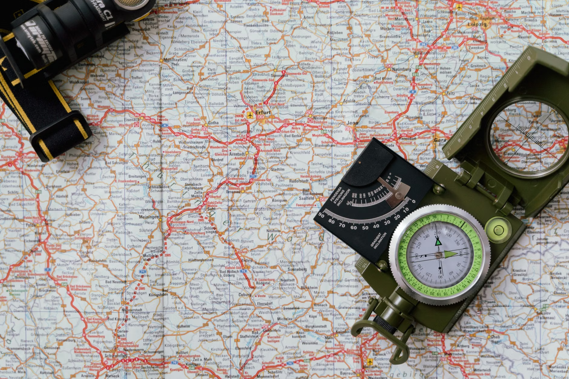
When you see your blue dot “jumping” around on the map while you are standing still, this is the GPS chip struggling to get a clean lock on satellite signals. Do not panic. Look at the surrounding terrain. If the map shows you on a ridge and you are clearly in a valley, trust your eyes over the blue dot. The map is a guide, not an absolute authority. This is why it is still recommended to carry a physical paper map and compass as a backup for high-consequence routes.

Managing Storage and Data Integrity
If you are a frequent hiker, your phone can quickly become cluttered with dozens of offline maps. Most modern apps allow you to manage these via a “My Maps” or “Downloads” folder. Every few months, clear out the maps for areas you no longer visit. This prevents your phone from struggling with storage space, which can lead to app crashes.
Another overlooked variable is the “base map” layer. Many apps allow you to download different types of maps: satellite imagery, topographic maps, or hiking-specific layers. Satellite imagery is the most storage-intensive. If you are worried about space, stick to the vector-based topographic maps. They provide the most information—elevation, water sources, and trails—with a fraction of the storage footprint of high-resolution satellite photos.
Integrating Safety into the Family Routine
For parents, the goal of using these tools is to minimize the “unknown.” When you have a clear, reliable map, you are less likely to make impulsive decisions or get turned around during a sunset descent. Use the map to set “turnaround times.” For example, if you are hiking with children, agree that if you haven’t reached the summit or the designated waypoint by 1:00 PM, you will turn back regardless of how close you are. Having the map open and showing the remaining distance makes this conversation much easier to have with kids who might be pushing to keep going.
Furthermore, ensure that at least one other adult in your party has the same maps downloaded. If your phone dies or suffers a screen crack, the trip shouldn’t be over. Digital redundancy is just as important as physical redundancy.
We are seeing a shift toward “Offline-First” design in almost all outdoor software. Companies are realizing that the “connected” era of the early 2010s was an anomaly. The future of outdoor tech is local, lightweight, and resilient. By mastering these tools now, you aren’t just making your current hikes safer; you are building a skillset that will serve you as you explore more remote and rewarding landscapes.
Remember, the best technology is the kind that works when you don’t even think about it. By preparing your maps before you leave the house, you ensure that your focus remains on the experience of the hike, the beauty of the surroundings, and the safety of your family. The technology should be the background, not the center of attention.
Frequently Asked Questions
1. Do I need a subscription to use offline maps?
While many premium features (like custom route planning or specific map layers) require a subscription, most major navigation apps offer basic offline map functionality for free or as part of a one-time purchase. Check the specific app’s pricing page, such as AllTrails or Gaia GPS, to see if their free tier meets your needs.
2. Will offline maps work if my phone dies?
No. Offline maps are stored on your device. If your phone loses power, the maps are inaccessible. This is why carrying a power bank is essential for any hike longer than two hours. For high-risk, multi-day expeditions, always carry a dedicated, battery-operated GPS unit or a paper map and compass as a secondary backup.
3. How much storage space do offline maps take up?
It depends on the resolution and the area. A standard topographic map for a moderate hiking area (e.g., 50 square kilometers) usually takes up between 50MB and 200MB. Satellite imagery for the same area could be 1GB or more. Most users can comfortably keep maps for several regions on their device without impacting performance.
For further reading on wilderness navigation safety and best practices, visit the National Park Service Hiking Safety guide, which provides excellent context on planning for remote terrain.
Stay prepared, keep your devices charged, and enjoy the silence that comes with being truly “offline” in the great outdoors.